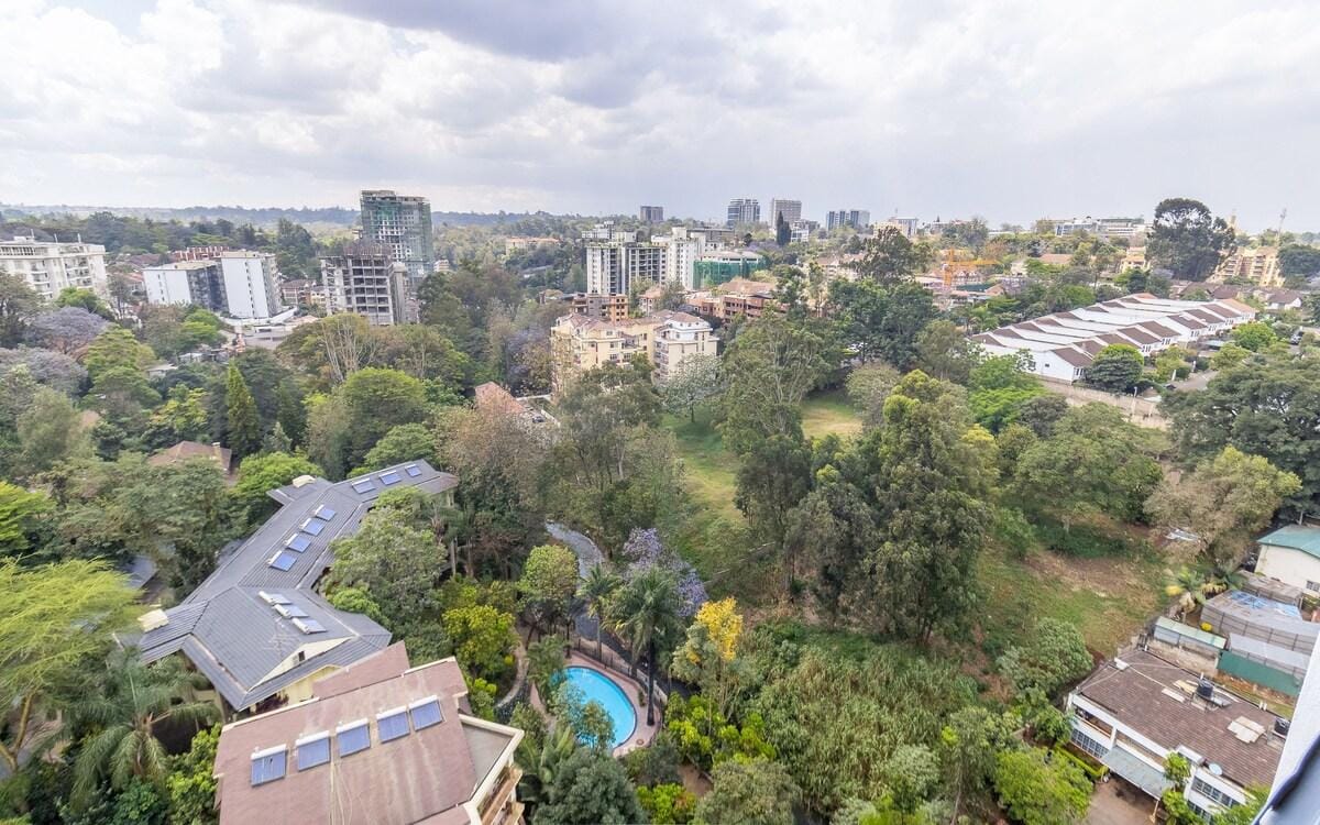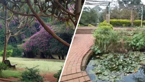


Today, the winding asphalt of Riverside Drive is famous for hosting heavily guarded diplomatic embassies, premium corporate headquarters, and high-value residential blocks. Yet, beneath the pristine lawns, massive underground parking garages, and multi-story concrete foundations lies a vibrant, ancient geographical layout that determined exactly how this exclusive valley was carved. Long before the first surveyor set foot on the ridge, the entire lower basin of Westlands was ruled by a complex system of roaring freshwater streams.
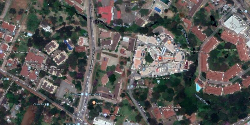
The primary lifeblood of this zone is the historic Kirichwa River, an active waterway fed by standard natural catchment springs up in the western hills. The river winds silently through the deep, rocky valleys parallel to the main road networks, carving out the dramatic, steep topography that gives Riverside its leafy, secluded ambience. At the lowest edge of the corridor, this stream reaches its final destination, joining the main channel of the Nairobi River right at the boundary of the historic Chiromo estate.
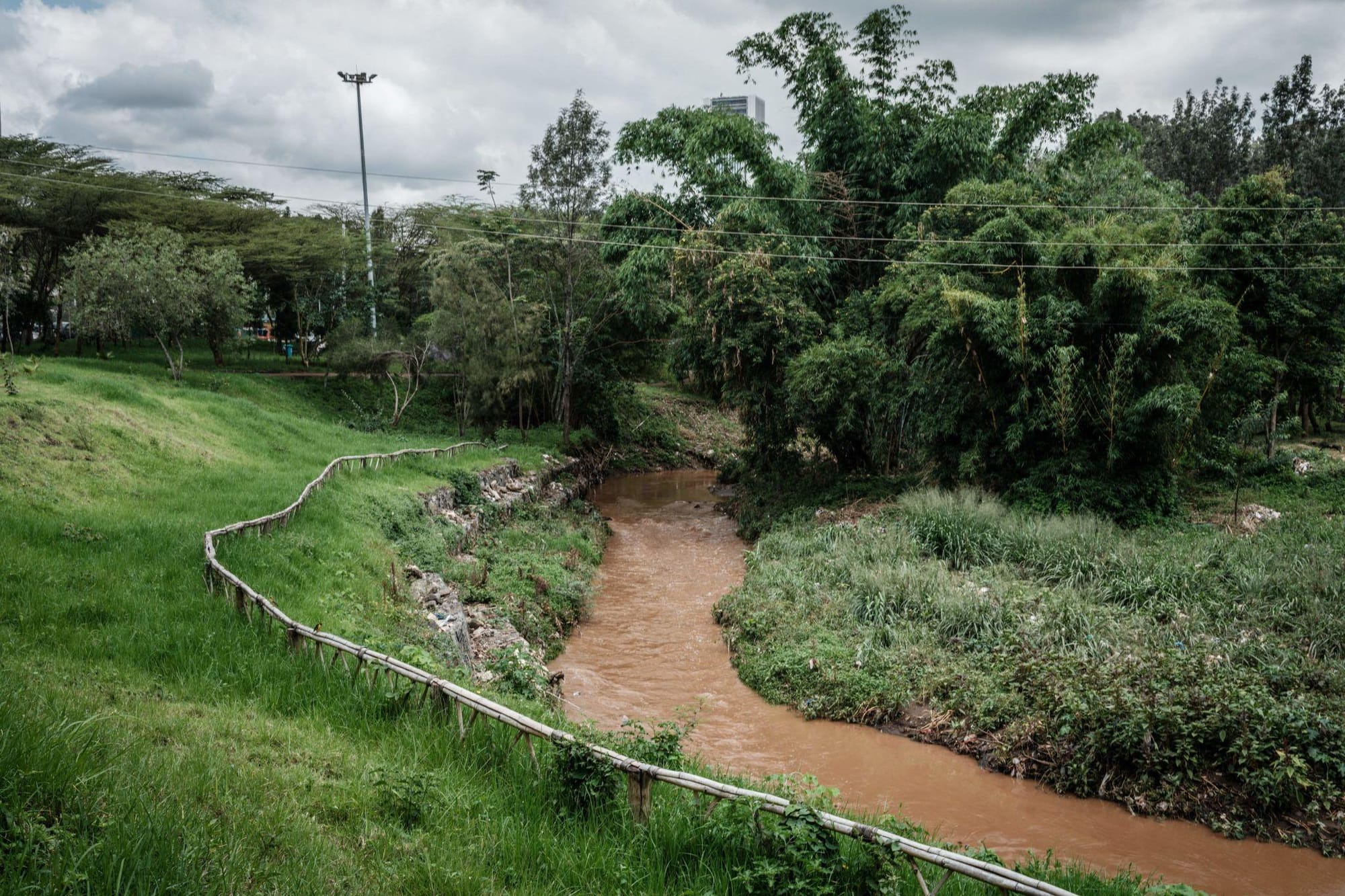
When early residential developers began purchasing these large plots, the presence of these hidden, low-lying waterways presented massive engineering challenges. Architect crews had to build specialized retaining walls and extensive drainage systems to stabilize the soft, water-logged volcanic earth before laying down high-rise blocks. Mapping out Riverside drive geography uncovers the silent power of these underground streams Westlands, proving that the district’s most exclusive residential layout is still dictated by the ancient paths of the Kirichwa river Nairobi history.