


Nairobi City Hall has officially initiated a major urban planning overhaul for the Westlands commercial hub to address infrastructure strain caused by the area's massive high-rise construction boom.Early this year, the Nairobi City County Government advertised a competitive tender to source a specialized contractor. The consultant is tasked with formulating a comprehensive Local Physical and Land Use Development Plan.This strategic initiative marks a complete transition from Westlands’ original blueprint as an upscale, low-to-medium-rise residential zone into a fully regulated, high-density commercial and mixed-use district.

Why City Hall Is Redesigning Westlands
Originally governed by a now-obsolete 2004 zoning framework, Westlands has grown much faster than public utility planning could keep up. The uncontrolled influx of massive corporate skyscrapers, commercial towers, and multi-story apartment complexes has pushed the area’s local amenities to a breaking point.

According to county officials and the Nairobi City County Government Public Notice, the vertical real estate explosion has severely choked local infrastructure. Unregulated expansion has directly resulted in:
- Severe traffic congestion along major feeder roads.
- Acute water shortages and regular utility rationing.
- Overwhelmed sewerage and stormwater drainage networks.
- Protracted legal disputes from long-term residents citing a total loss of privacy, proper ventilation, and natural sunlight.
The Scope of the New Westlands Development Plan
The comprehensive zoning project spans across a massive urban footprint. To ensure balanced growth, the local physical development plan strictly covers the entire Westlands zone. This encompasses key estates and sub-zones including:
- Spring Valley
- Parklands
- Loresho
- Kyuna
- Muthangari
- Rhapta Road Corridor
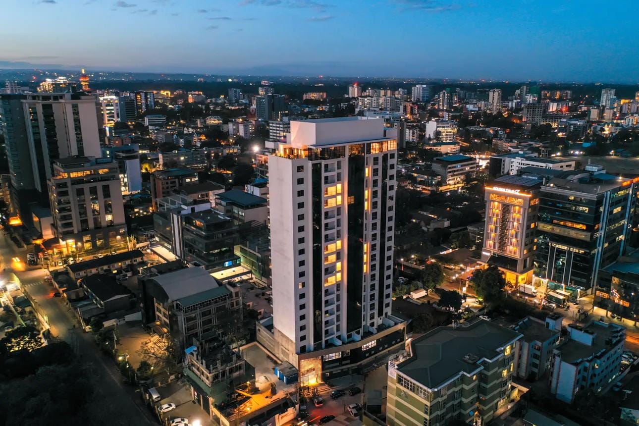
The overarching objective is to align future development approvals directly with infrastructure capacity. The framework coordinates closely with the Nairobi Integrated Urban Development Master Plan (NIUPLAN) to manage urban density sustainably.
What the 2026 Zoning Changes Mean for Investors and Developers

Under the updated Nairobi Zoning Rules, the Westlands Core is officially recognized for intensive development. However, strict structural limits are now being heavily enforced.
| Metric / Regulation | New Framework Provision |
|---|---|
| Maximum Building Height | Restricted up to 30 floors on qualifying plots. |
| Maximum Ground Coverage | Capped at a strict threshold of 80%. |
| Maximum Plot Ratio | Allocated up to a limit of 2,400%. |
| Primary Condition | Approvals are strictly contingent upon verifiable infrastructure capacity expansions. |

As part of the execution phase, Governor Johnson Sakaja's administration has formally invited property owners, developers, and members of the public to collaborate on the final draft. Stakeholders can submit written views regarding the zoning framework to the County Executive Committee Member (CECM) for Built Environment and Urban Planning.