

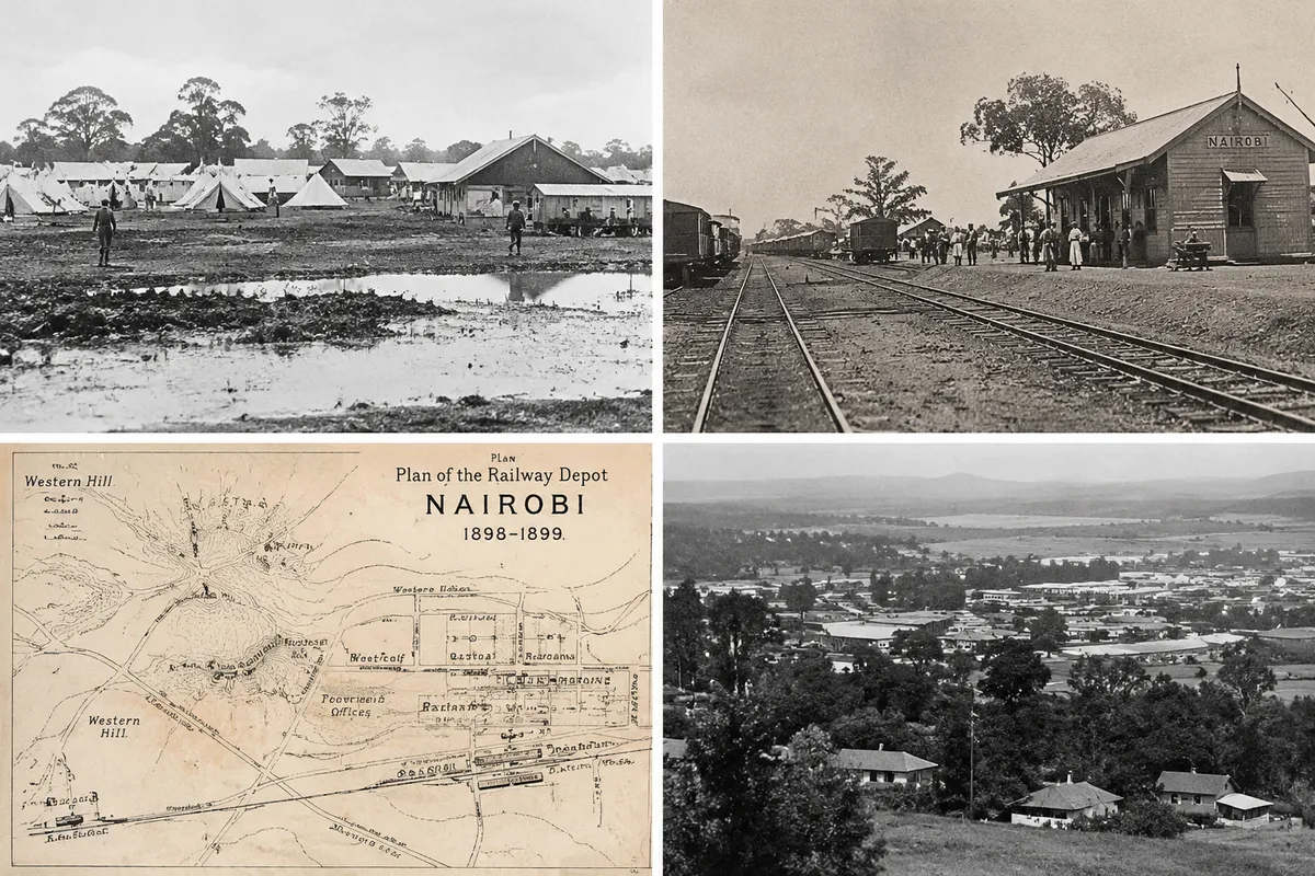
In 1899, colonial railway engineers made a critical error. Ignoring the advice of local communities, they set up their main supply camp in a low-lying, poorly drained basin of black cotton soil that we now call the Central Business District. Whenever the heavy rains hit, the camp transformed into a massive, muddy swamp that trapped stagnant water and bred disease.
As the settlement grew, the damp, poorly ventilated conditions became an administrative headache. Medical officers quickly realized that the low basin was entirely unsuitable for long-term residential life. To find relief from the mud, dampness, and poor sanitation of the core township, colonial planners began looking toward the healthier, well-drained slopes situated just to the northwest.
This geographic escape gave rise to the western residential districts. By directing residential expansion up the ridge, planners laid the structural foundation for what would become an exclusive suburban enclave. Examining colonial urban planning Nairobi reveals how the harsh realities of a damp railway camp drove development outward, establishing the coveted Westlands altitude advantage and cementing its position in Nairobi malaria elevation history.