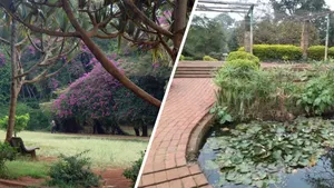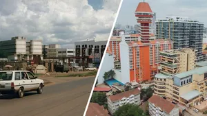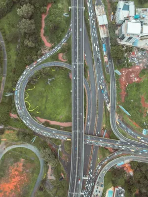

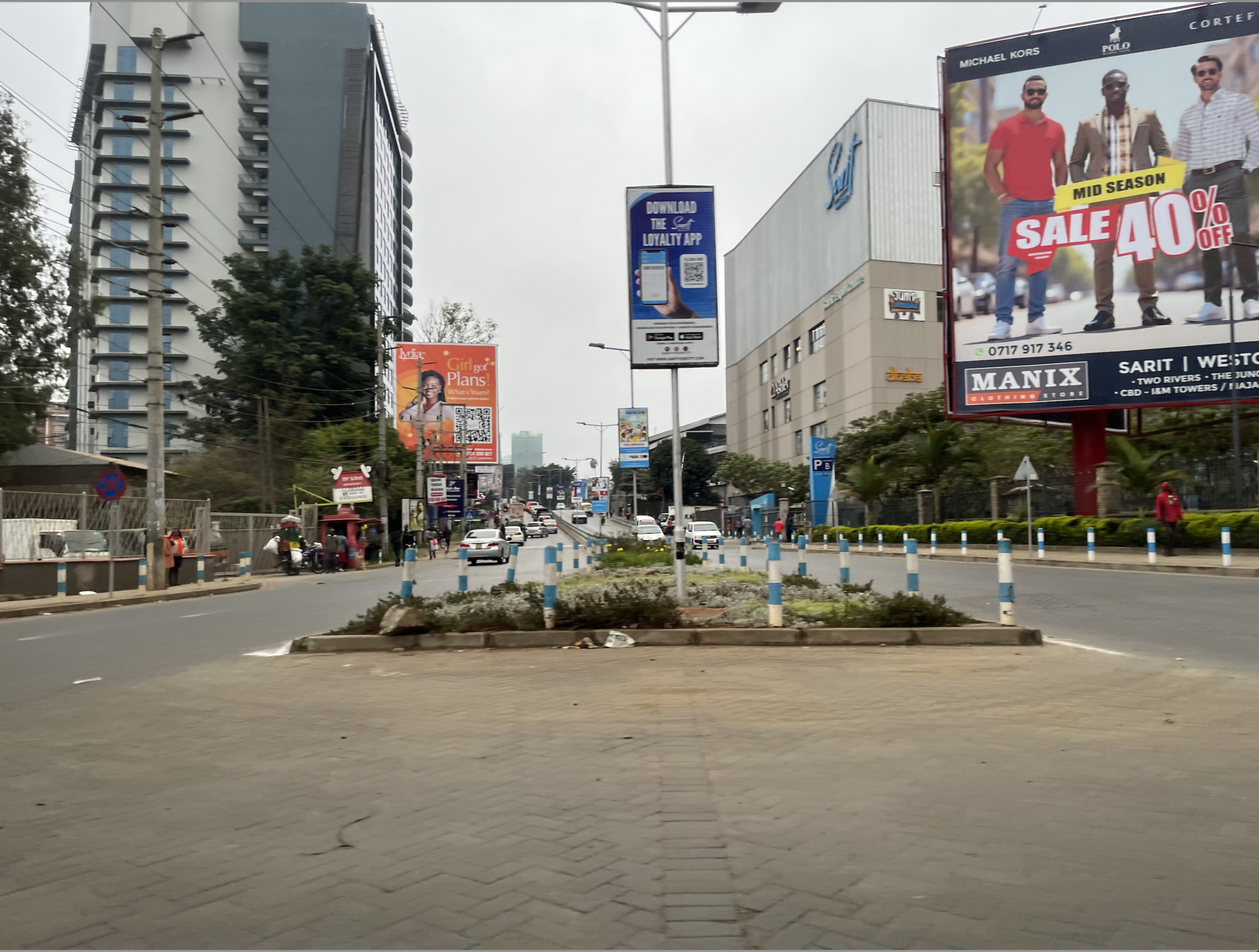
Stand at the Westlands roundabout and try to imagine it as a hill of red soil, fig trees and grazing cattle. It is hard. Almost nothing in today's Westlands tells you what was here before, and that is a loss for everyone who lives and works in it.
A story worth telling
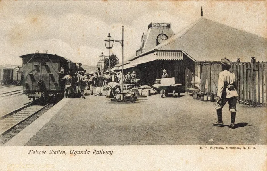
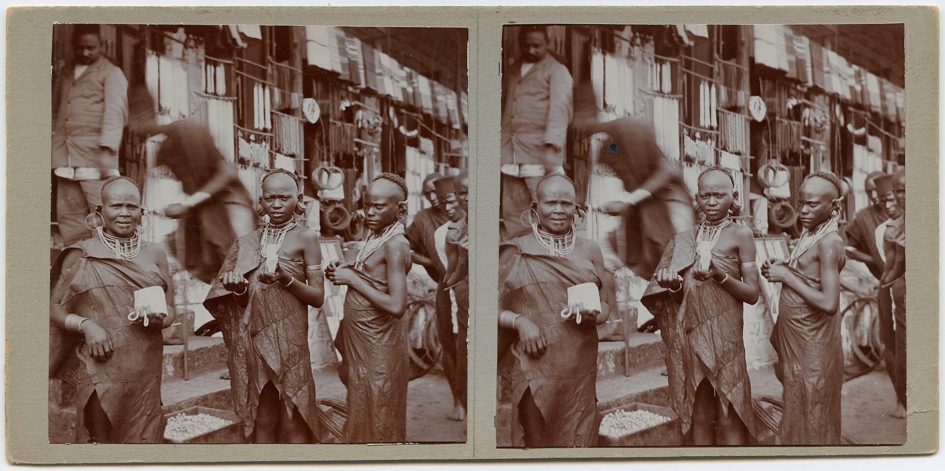
Before it was "Westie", elders knew the ridges here as Kirungii Hill. When the Uganda Railway arrived in 1899 and set up camp in the swampy basin that became the CBD, planners soon looked to the healthier, well-drained slopes to the northwest. That decision gave rise to Westlands.
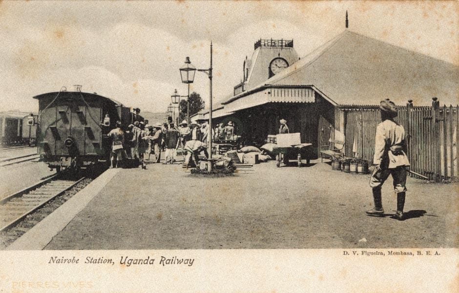
1899: the Uganda Railway reaches Nairobi.
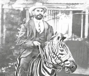
1904: Ewart Grogan builds Chiromo House.
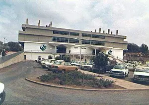
1983: Sarit Centre opens as East Africa's first enclosed mall.
1990s: banks and multinationals move west from the CBD.
2021: the Global Trade Centre redraws the skyline.
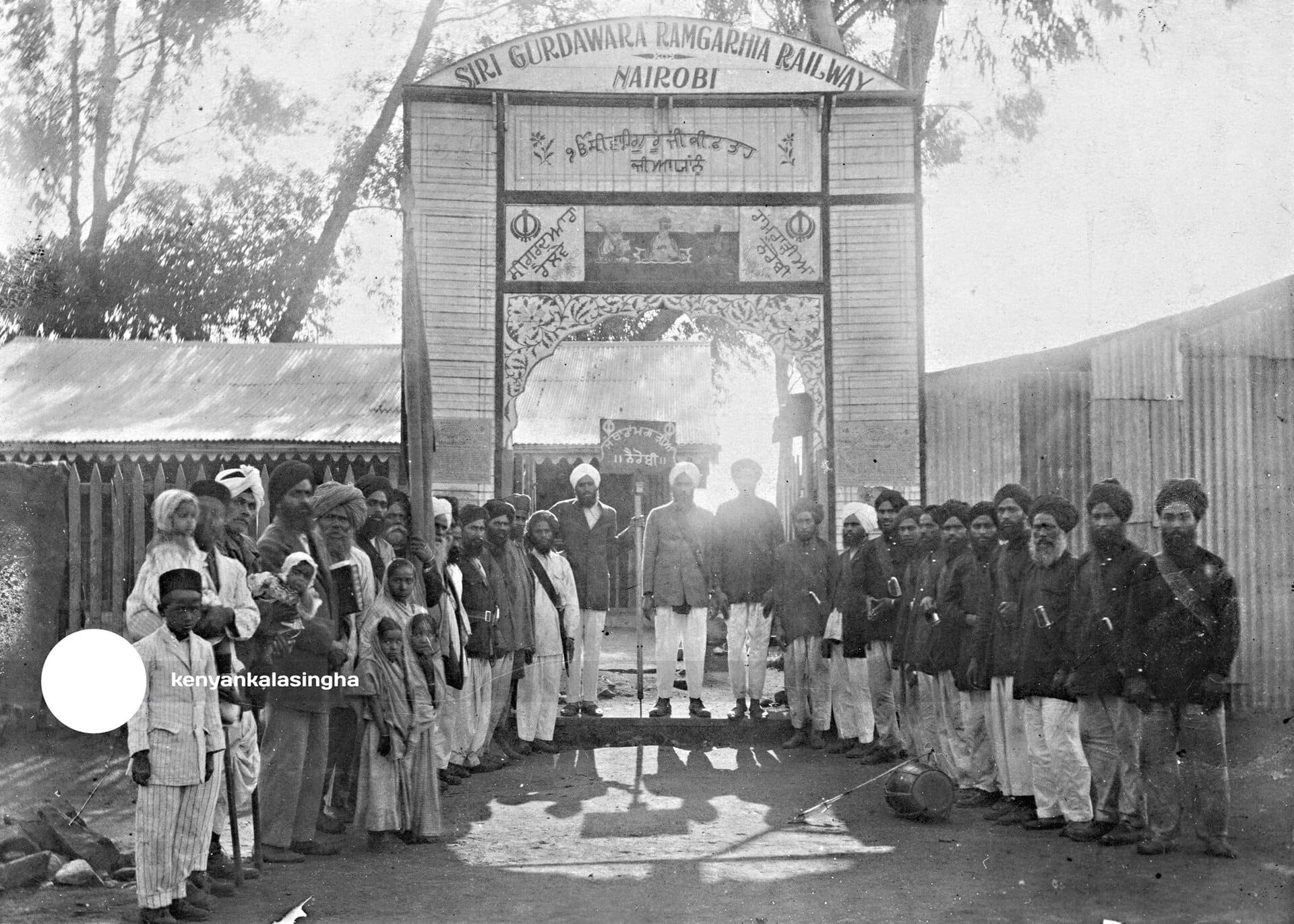
Colonial zoning then divided the city by race and class, with the higher western ground reserved for Europeans, a divide Nairobi still lives with. Ewart Grogan built Chiromo House in 1904. Gujarati Oshwal and other Asian communities built much of Parklands. In 1983, Sarit Centre opened as East Africa's first enclosed mall, and in the 1990s banks and multinationals moved west from the CBD.
Almost none of it is marked
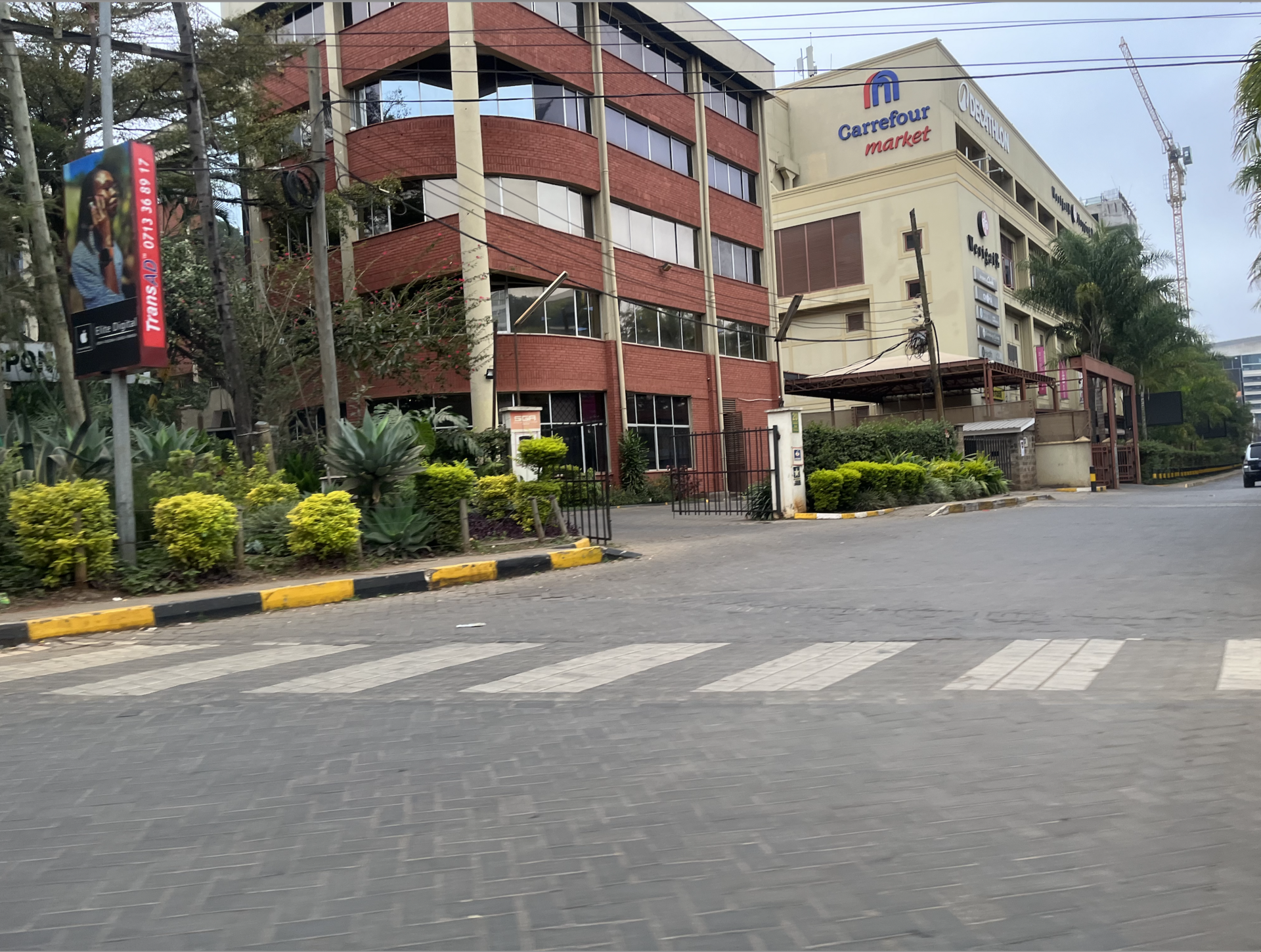
Yet you could walk through Westlands every day for years and learn none of this. There are few plaques, no heritage trail and little in the way of public information about what stood where. Older shopfronts, streams buried under development and the last fragments of indigenous forest are disappearing with every new tower.
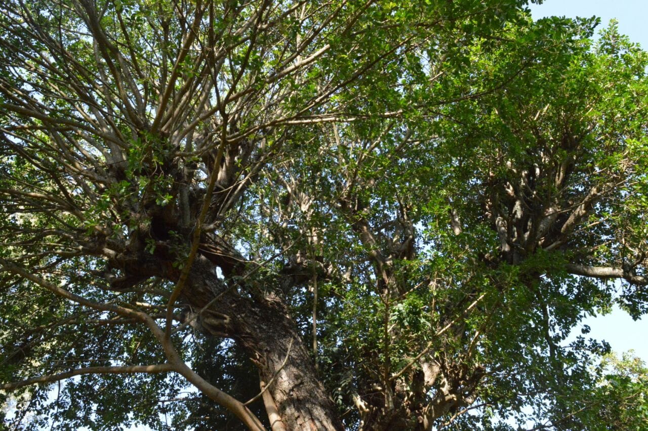
We have seen what public attention can do. When the Expressway threatened a century-old Mugumo fig tree on Waiyaki Way, public pressure saved it. That tree survived because people knew it mattered. Most of Westlands' history has no such defenders, because most people do not know it exists.
What could change
- Mark the sites. Simple plaques at places like the old bazaar, Chiromo and the fig tree would cost little and teach a lot.
- Record the elders. Oral histories of Kirungii and early Parklands are disappearing with the people who hold them.
- Ask developers to give back. New towers could include a small public display about what stood on their site.
What we think
Westlands does not need to stop changing. It has always changed: from hill to suburb, suburb to business district, business district to global hub. But a neighbourhood that forgets its past loses part of what makes it a place rather than just an address. Recording that history is why we write our history series, and we will keep adding to it.